 English ▼
 Français
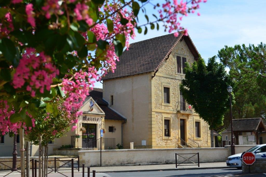
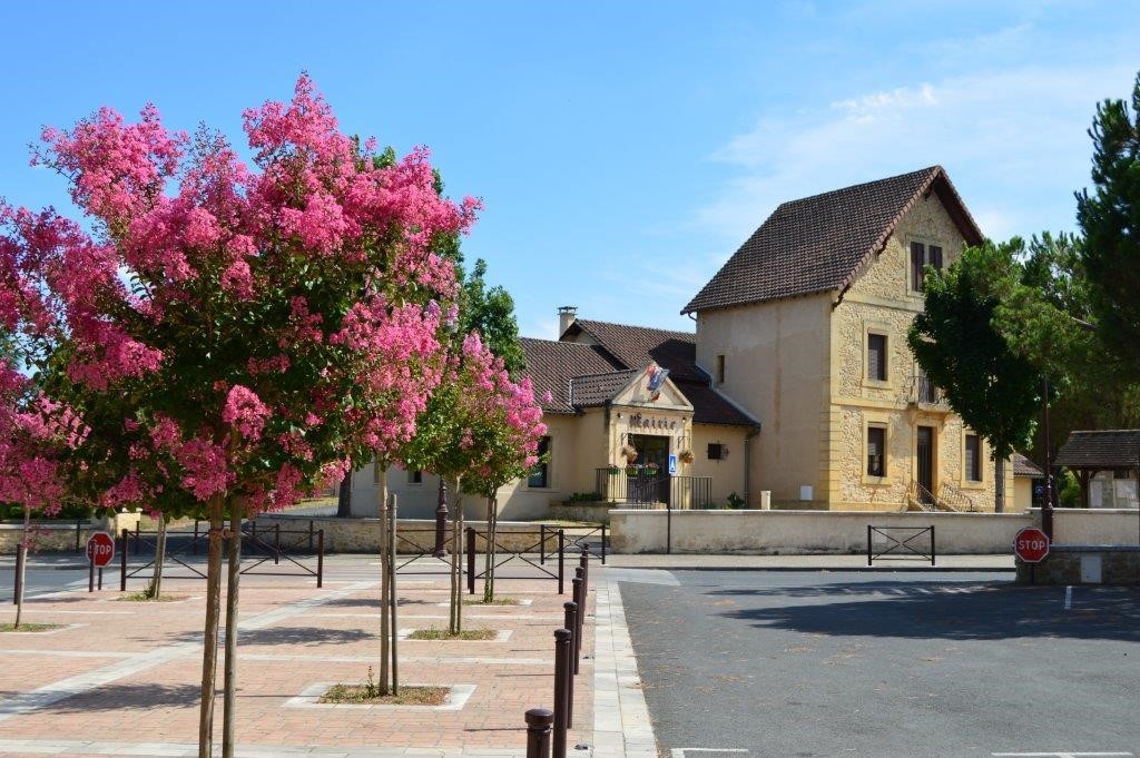
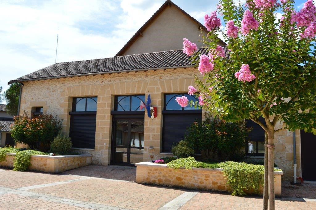
The Town Hall.
(Some information our town)

To the South of the Department of Dordogne in Périgord Pourpre, the commune of Cours-de-Pile is located on the left bank of the River, 5 km from the centre of the Bergeracoise subprefecture.
The municipality has 1536 inhabitants (official population at 1 January 2014); It spans 1082 hectares between the Bank of the Dordogne and the first limestone hillsides. It is bounded to the West by a small valley, that of Conne.
The natural environment:
Culminating more than 100 metres south of the town at a place called the Garenotte, the municipal territory gradually floor to the banks of the Dordogne River in 30 meters of altitude.
Three landscaped estates are distinguished:
→ The alluvial plain.
Due to the richness of its soil, this is an area for agriculture.
Large plots to grain vocation and also some tobacco fields delimited by hedges location constitute an open landscape.
To the West of the commune to Bergerac, habitat is developed on this plain.
To the East, surrounded by woodlands, the stack Castle is a remarkable site on the logo of the municipality.
The bed of the Dordogne is bordered by steep banks of 20 metres of difference in altitude colonized by wetland trees (poplar, alder, ash,...).
Two sites near the hamlet of Migay allow the launching of the boats to indulge in the pleasures of fishing.
→ The terrace.
It is separated from the alluvial plain with a slope of 10 to 15 metres of difference in altitude well marked by a wooded area. Former habitat, and in particular the village settled at the top of this slope. From the plain, this particular topographic position gives to the Church and the village an imposing look. With a width of 1.5 km, the terrace is characterised by an agricultural landscape open interspersed with a few hurdles.
Agricultural activity is primarily grain but we meet some units for breeding and plum orchards. This space has suffered long-standing pressures of urban development leading from the beginning of the 1980s local elected representatives to develop a land-use plan.
Today the line of separation between agricultural activity and urban development is well defined.
To the East of the Coustinet road, lands are reserved for agriculture while West land, largely connected to the collective sanitation network, allow the introduction of new homes.
→ The hillside.
It is located in the southeastern part of the commune.
Top of hillside, at a place called the Garenotte, a residential and urbanized island enjoys breathtaking views of the Dordogne Valley and on the hillside in front bringing the prestigious Pécharmant vineyards as well as on the Monbazillac vineyard and its famous Castle.
The forested slopes represent approximately 10% of the municipal territory. The dominant species is oak, but there are also maritime pine groves.
Some meadows are destined for farming but the bulk of the forest owned by individuals, is doomed to the promenade and hunting or picking mushrooms in the autumn.
Services and equipment
Development projects